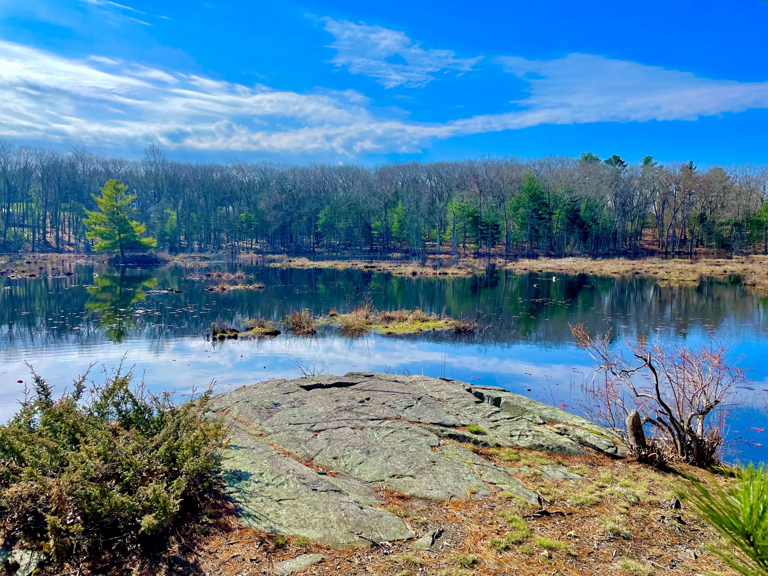
HIKING IN NORTH READING? Yes! Come explore amazing vistas, such as Bradford Pond off Marblehead Street, and other forest trails this Saturday, June 8 with local Girl Scouts who mapped some of the town’s interesting trails for their Silver Award project.(Courtesy Photo)


By Izabella Rom, Elizabeth Ayer, and Gargi Bohsle

 NORTH READING — Did you know that North Reading has miles of hiking trails? Neither did we!

We discovered that there are many green spaces in our town that are perfect for hiking and exploring. From wetlands to parks, ponds, and even vernal pools; North Reading has it all. And although we have these amazing spaces, not many citizens put them to good use or are even aware of them. That is why we have made it our goal to explore and document our local hiking trails for the benefit of our community.

We are North Reading Girl Scout Troop 62798. Our troop consists of three eighth-grade girls, Gargi Bhosle, Isabella Rom, and Elizabeth Ayer.  We have gone on many hikes together to enjoy the outdoors or to find a tricky geocache (we even have our own!). We explored nearby towns such as Andover and Reading but were unaware North Reading had its own forest with trails. So, for our Girl Scout Silver Award (which is the highest award girls our age can achieve) we wanted to do something both meaningful to us and that will have a positive impact on our community. Our goal for this project was to learn more about the hiking trails in North Reading and how to access them, and then to share that information with the public to encourage residents to enjoy them.

To kick off our project, we met with town officials to decide how to approach the problem. When talking with Mrs. Hartman, the Director of Public Services, we discovered there wasn’t a map of trails in North Reading but that there was a mapping system that detailed various land information in North Reading called the GIS (Geographic Information System), which is a digital map on the town website that consisted of various information layers. We then met with Mr. Reed, a member of the Land Utilization Committee, who shared his knowledge of the town trails, since he has walked most of them. He was most familiar with Ives Memorial Forest, which is a part of Harold Parker State Forest, and said it seemed the most accessible in terms of our project goal. Ives Forest then became our focus, along with the Bradford Pond portion of Harold Parker (north of Marblehead Street). We then met with Mr. Szottfried, the GIS Program Manager, for direction on creating a digital layer just for trails within the town GIS Map, which allowed us to record the trail paths and make notes about trails. We were then on our way to digitally mapping the trails on our own.

We hiked miles of trails from March to May, in all sorts of weather (yes, downpours, too) recording the trails in Ives Forest and the Bradford Pond area. During the time we spent in these green spaces, we learned that while some of the trails are in good condition, some of them are not (perhaps the next project for Girl Scouts?). We also learned that several other green spaces with trails need to be explored and added to the GIS trail map layer (yet another project?)

Most of the trails are in good condition. In these spring months, some of the ground is soggy from rainfall, but it is manageable with the right footwear. It is also quite beautiful in the spring when all the trees are green, and we highly recommend exploring it.

Since we visited Ives Forest so often, we became well acquainted with the many (but not always obvious) entrances. The entrance on Arline Drive is very accessible and has parking for three, and is the most well-kept, though it can become overgrown in the summer. It has signs to indicate the public property, which is more than a lot of the other trails have. There is another entrance on the northern border of Marblehead Street that also has room for one to two cars.

Originally, we thought we could help maintain and improve the quality of trails because of this lack of signage, but then we decided that we should first get more people using it so that later, cleaning up paths would serve more of a purpose. Educating people is the first small step for improving North Reading’s trails.

GUIDED HIKE SATURDAY, JUNE 8

We hope that North Reading residents will benefit from our project and that its citizens will get more use of the many trails in North Reading. We are planning a guided hike at Harold Parker State Forest on Saturday, June 8 for anyone interested in learning more about our town’s trails, or for some quality time outdoors (or both!). Also, the new North Reading trail map is now available on the town website at https://www.northreadingma.gov/gis/pages/town-maps. Look for the TRAILS.pdf for easy download and printing.

We wish to thank several members of the town government, specifically, Mrs. Lillian Hartman, Mr. Danny Szottfried, Mr. Bill Reed, members of the LUC, Ms. Lori Chekal, Ms. Danielle McKnight, and Ms. Nancy Ursino for helping us with this project. Their guidance and efforts were essential to making this project become what it is now. With that said, we wish that North Reading citizens can use this knowledge we have provided to have a better outdoor experience here in North Reading. Enjoy your hikes!